Since I visited Iceland for the first time, back in 2013, for work, I promised myself I would be back soonest, in this particularly stunning piece of land in the middle of the North Atlantic. Come this spring, I saw an opportunity to have a go at the classic Landmannalaugar trail, and drafted a rough plan to cover the trail over a long weekend in June. As this hike, during the peak season also playfully referred to as Laugavegur trail (after the busy main street of Reykjavik) trail, meets a lot of traffic during the summer months, once all the huts and backcountry roads are open, I scheduled my flights as early as possible in June, trying to avoid the worst crowd.
While the plan overall appeared solid, I hadn’t accounted for the very late summer in Scandinavia this year, that turned out to be, in Iceland, unlike any since 1969. Summer arriving late, it meant the highland roads were blocked by snow, making it impossible even for the super jeeps to travel, keeping huts on the northern end of the trails shut, obviously blocking also the buses transporting hikers to the area. Another small surprise upon landing was finding all my spare batteries been confiscated by the airport security at Helsinki, leaving me with only one battery inside the camera. Luckily I had the Xiaomi Power Bank with me, so I did not miss them in the end, charging the one I had directly inside the Sony RX100 III.
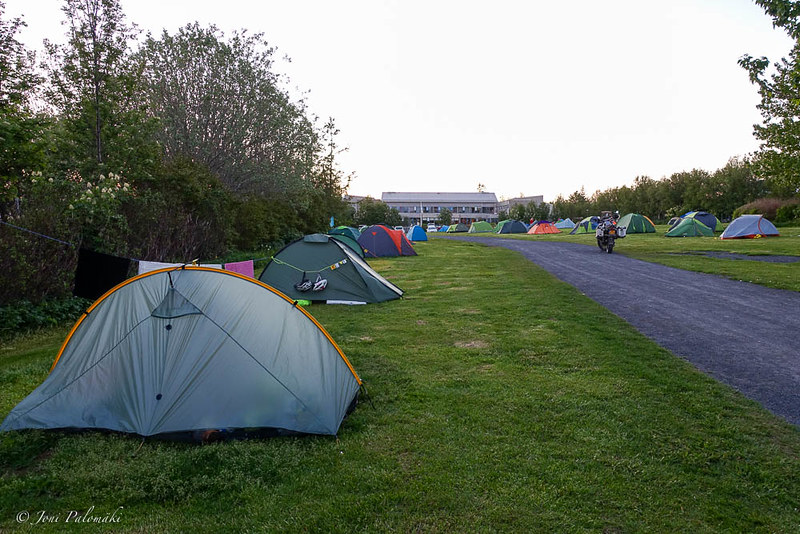
Having only booked the flight and the airport transport with Flybus to Reykjavik Campsite, not tying myself into a fixed schedule, upon arrival I was met with news about Landmannalaugar still being buried in snow, making my original plan futile. I unloaded all the gear into my Tarptent Rainbow pitched in the grassy field among a melange of shelters, jumped to a bus 14, and headed downtown. Seated in the great Icelandic Fish & Chips restaurant, quadrupled in size since my last visit, I locked down to the free wifi over some local beer and delicious catch of the day, and started pondering over my options for the next four days. Before the dinner was done, I had decided to head to Skógar instead, and start hiking towards north, leaving the finish open as the conditions on the trail in the next few days, and the storm just about to hit the south coast, would allow.
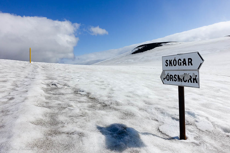
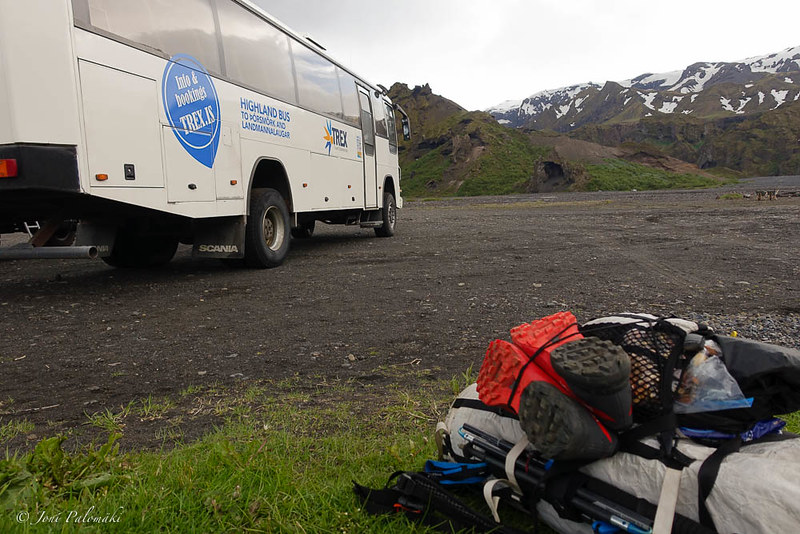
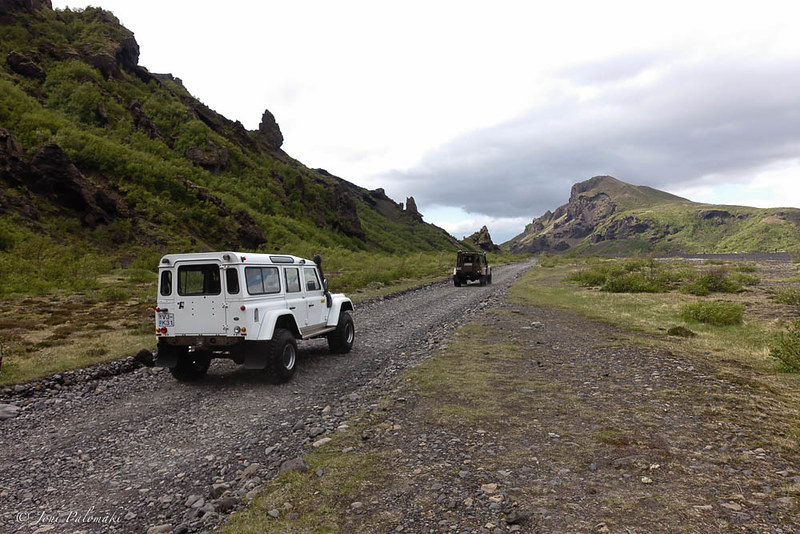
The great thing about traveling in Iceland, in addition to very affordable direct flights from Helsinki to Keflavik, is the comprehensive network of buses running around the island, and into the selected huts and trail ends, and of course to plethora of attractions. For hikers, both Reykjavik Excursions and Trex are companies to get in touch with. I opted for the Hiker’s Bus Pass from Trex, which is essentially an open return ticket to selected stops, guaranteeing a seat without committing to a specific date. There are few passes to choose from, and as I planned to start from Skógar, I purchased one covering Skógar, Þórsmörk and Landmannalaugar. Hence, starting from Skógar, I would have the option to retreat from Þórsmörk, once over the mountains and through the Fimmvörðuháls pass, or to continue up to my original starting point at Landmannalaugar, should the hut and hence the bus connection be opened by the time I could, possibly, reach that high point.

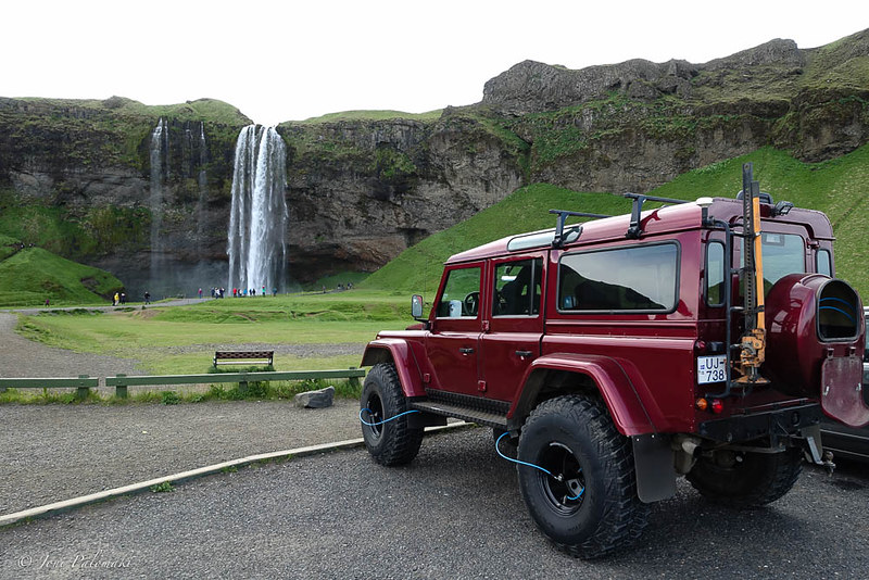
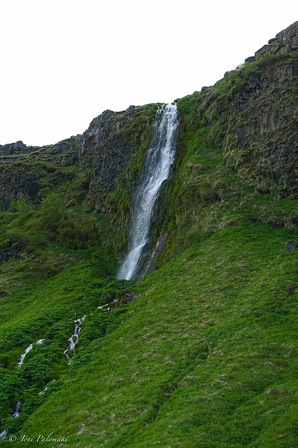
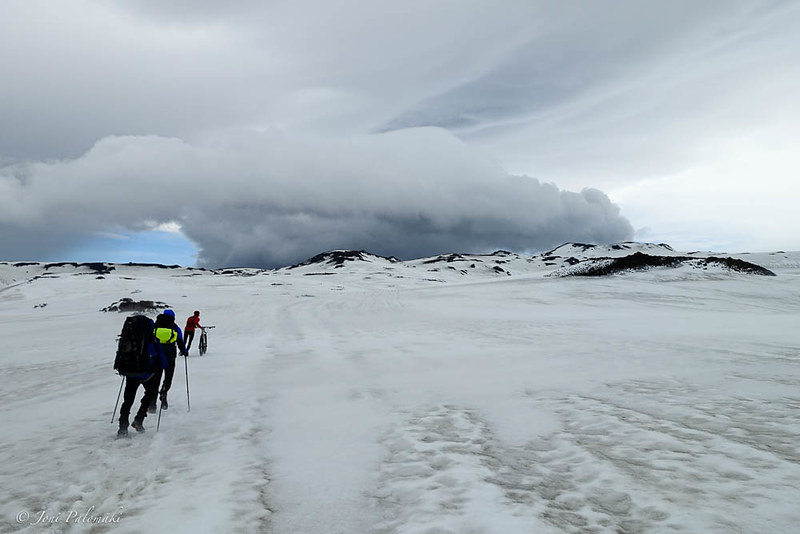
With an early awakening, I jumped to the bus at the campsite (another perk for staying there, no transfer to BSÍ bus station required) and by 10:30 arrived to the Skógafoss waterfall, majestically marking the trail end with a 60-meter drop over a former coastline cliff. I had visited this place in 2013 on my day-tour along the south coast, and with storm rising on the sea behind my back, and heavy precipitation forecasted later the day in the mountains ahead of me, I skipped the attraction and hit the stairs going up next to the waterfall, hoping to gain ground and escape at least some of the bad weather. The hike up along Skógá River towards the Fimmvörðuháls pass is spotted with views into the mountains ahead and the river on your left, running through deep gorges and over multitude of waterfalls, with a roar. Gaining elevation, wind from northeast became stronger and gusty and meeting some other hikers taking shelter behind a boulder about half-way up the mountain learned about 15-18 m/s readings from their carry-on anemometer. And then the wind picked up.
I had met two chaps from UK at the trail end, arriving in the same bus, and as we turned out to have the same brisk pace, I ended up having some good company and outdoorsy chat on the way up, fighting the wind. Catching up few hikers, there was some oncoming traffic, including a group that had turned around in the snowline, where a bridge crosses the river. As the group was somewhat ill-prepared, with at least one of the guys missing his gloves, that was probably a smart move, as the conditions continued to get worse.
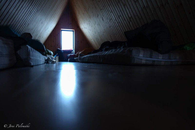
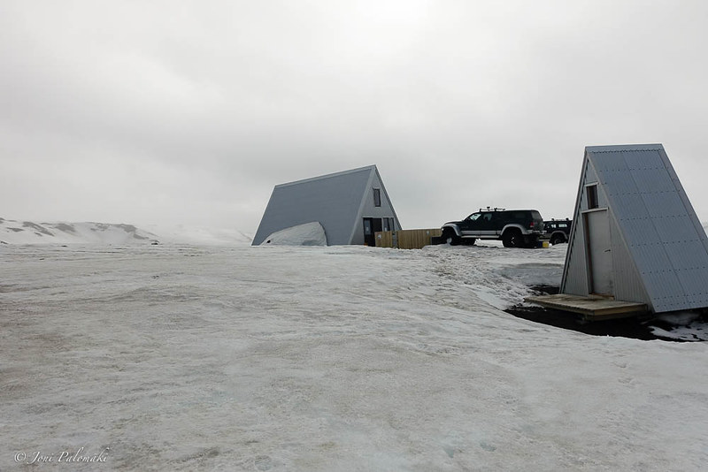
Stopping behind a crop of rocks for a quick lunch, our group of three was met with a sight of a person hiking up behind us with a bike on his shoulder. As I later learned, it was some misinformation from a bike shop in Reykjavik that had encouraged this tough cyclist to hit the trail and try to cycle through the Fimmvörðuháls pass in one go, some 25 km in total distance. Perfectly doable in normal summer conditions, it turned out to be an epic hike-a-bike, as he joined our loose group and pushed all the way up to the manned hut some 2 km before the pass, where we stopped over for shelter, and ended up spending the night there, as the weather continued to deteriorate. We were later joined by more solo hikers and groups and ended up having a full house before the night fell.
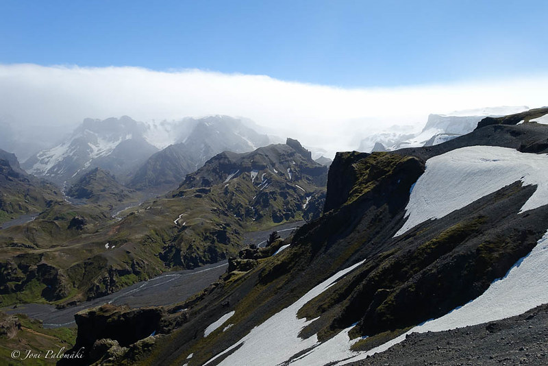
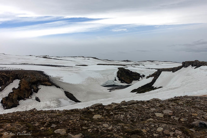
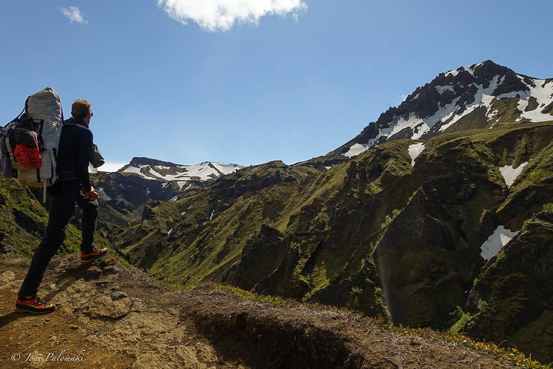
Listening to the rumble of wind shaking the hut through the night, morning brought significantly better conditions, while wind remained relatively strong throughout the day. Visibility had improved, and even sun was peeking between the rolling clouds, so it was time to pack up and hit the trail again. I bid farewell to my earlier companions, and continued up in the mountain in solitude. Reaching the pass, weather kept on improving and I was strolling between the two glaciers and past Magni and Móði, the two new volcanoes formed when Eyjafjallajokull erupted in 2010. Soil around them is still warm to touch.
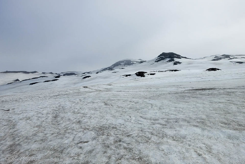
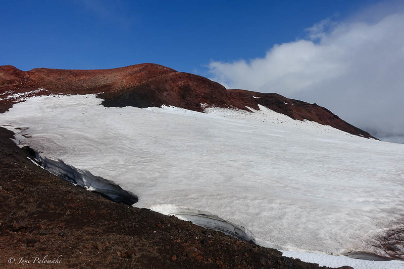
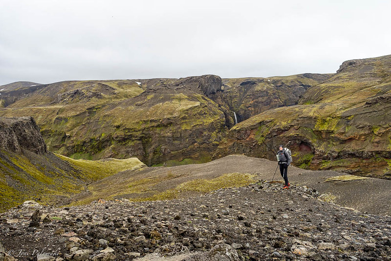
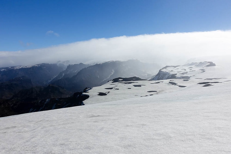
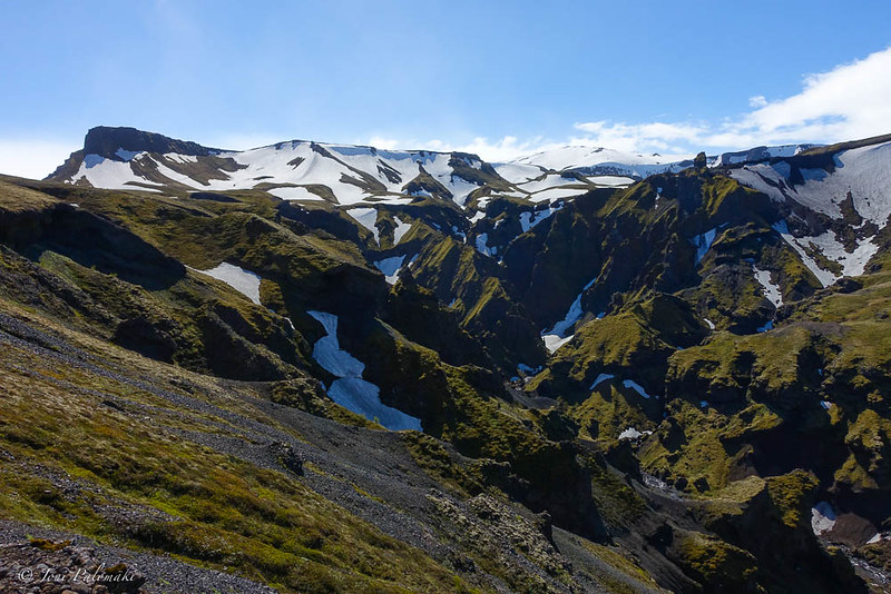
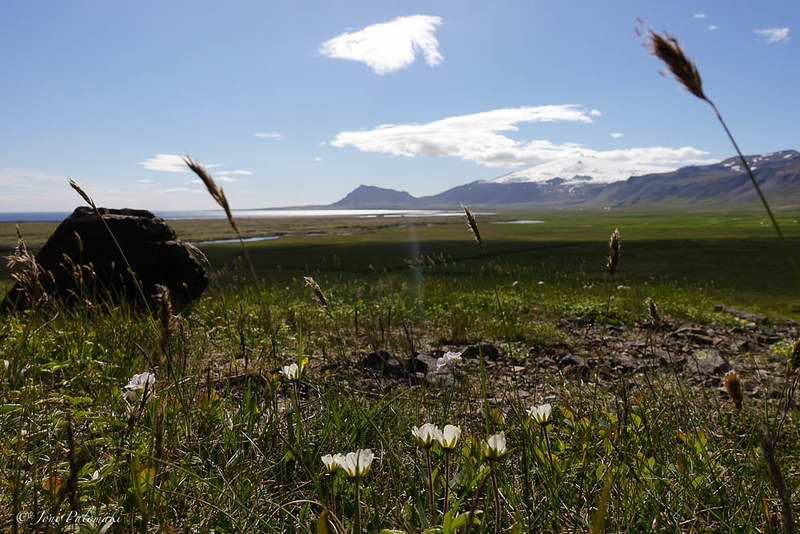
Before heading down the other side, one must pass a ridge that proved to be an interesting alpine-style scramble, with gusty wind trying to knock you over the edge. On the lower plateau, with a steep snow slope to tackle at first, I reached the snowline and with a pretty traverse over a mountain side I was back on the green, in the lush meadows with glaciated mountains as the backdrop.
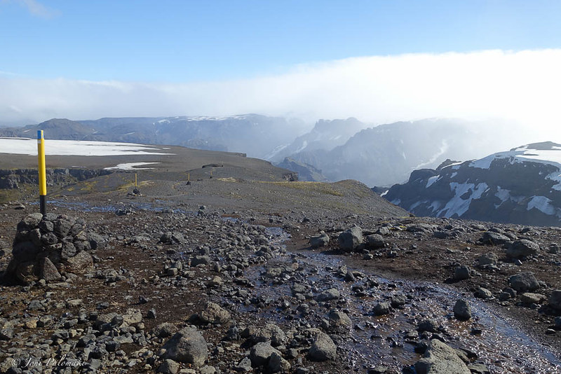
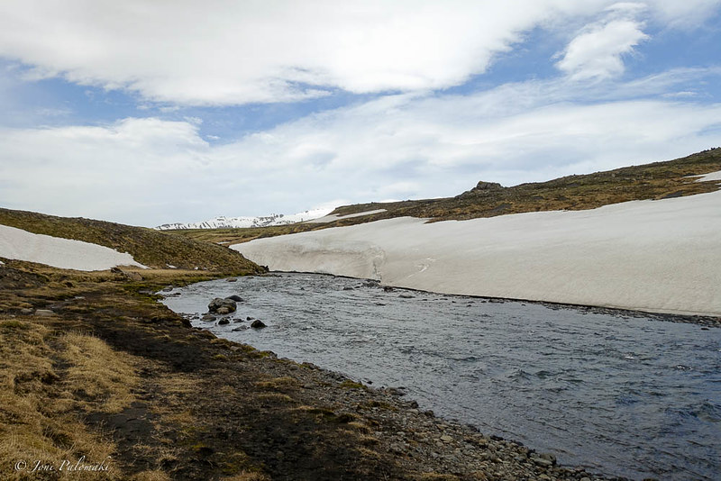
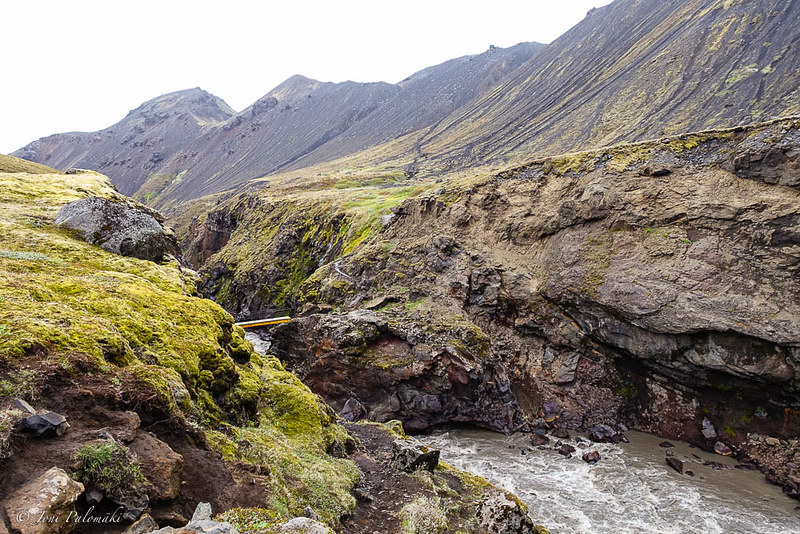
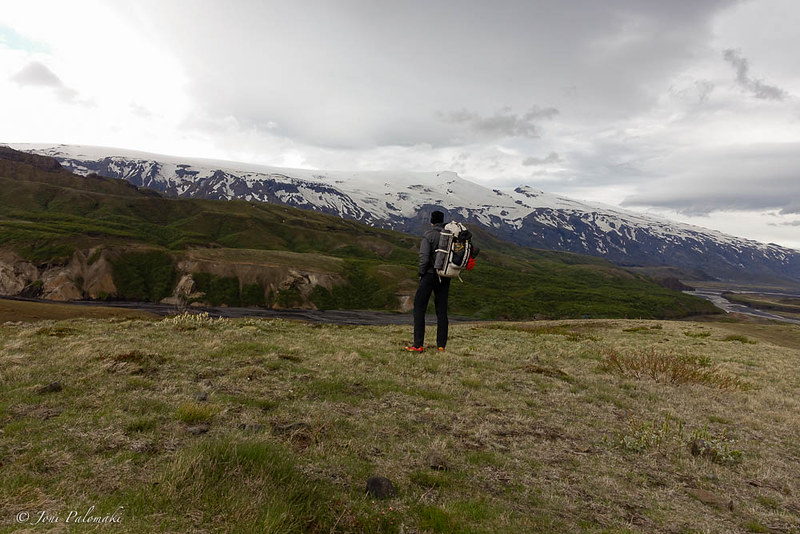
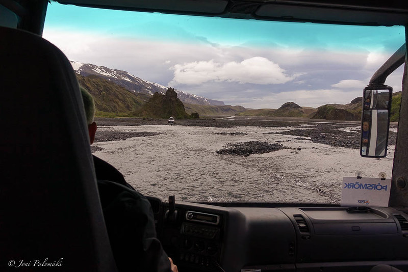
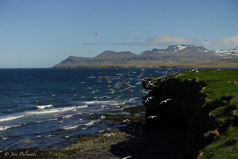
Down in the valley, in Þórsmörk, I took a short break, filled up the water bottles, and then decided to continue on the trail, heading north towards Botnar, some 19 kilometers away. With dark clouds approaching from the east, I decided I would hiked for few kilometers and camp somewhere nice along the trail.
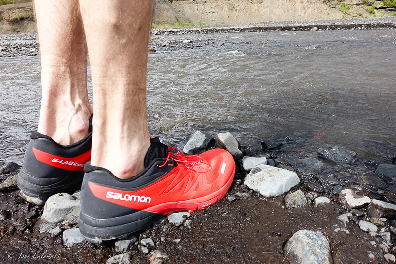
Couple of kilometers in I arrived to the first river crossing. I had brought a pair of lightweight Salomon running shoes for camp shoes and for crossing rivers, and though already proven over the previous day of pushing into the wind, I had brought the collapsible hiking poles, Distance Carbon FLZ from Black Diamond, especially to secure the river crossings while traveling alone. Crossing turned out to be an easy one, water running only at a knee high on a wider spot I chose, and the ones further down the trail were possible to cross with dry feet - I wore La Sportiva Trango Guide Evo’s on this trip - these comfortable and lightweight mountain boots provided good support on the mixed terrain.
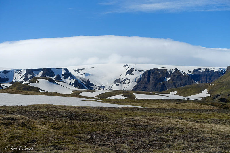
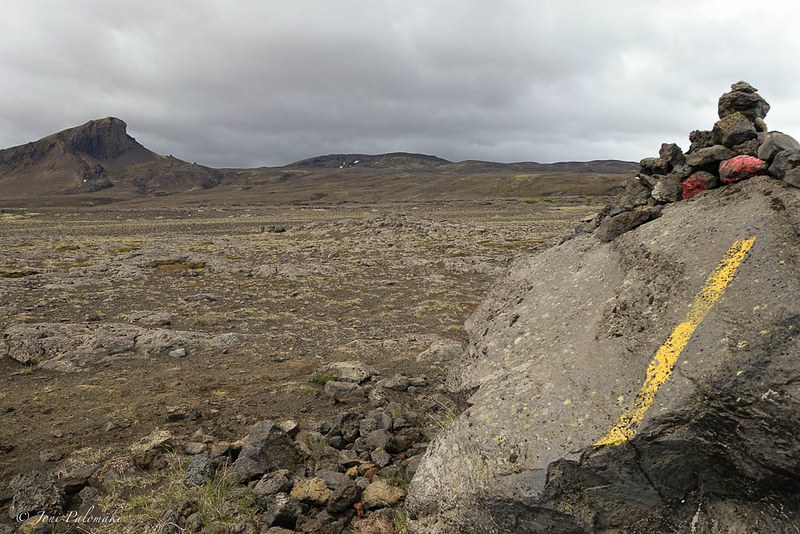
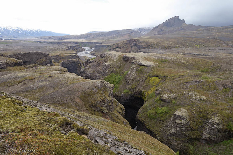
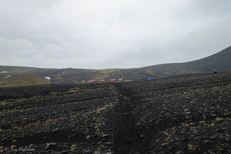
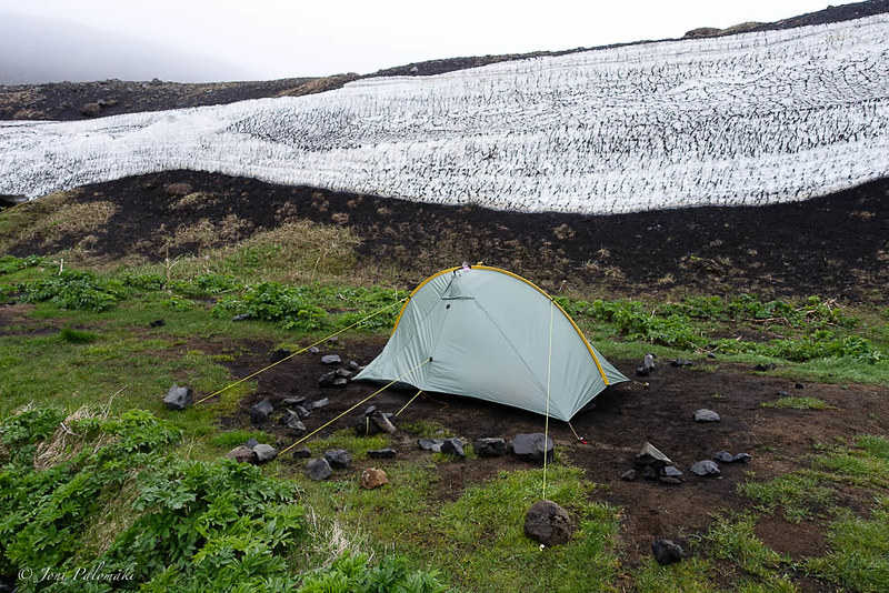
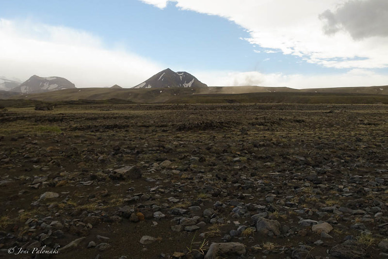
Few kilometers onwards the terrain shifted and became more barren, and choosing an alternative trail instead of the Landmannalaugar trail with blue route markers, I made way through the erored Almenningar pastures and feeling fresh I decided I would continue all the way to Botnar in one go. Weather got gradually grimmer, wind as a constant companion, and even some rain fell towards the end of the trail. Once I reached the Botnar hut, I had hiked around 32 kilometers in about 10 hours (of which 7 hours moving), with some 1000 meters of ascent, and 1400 meters descent, according to the Garmin fēnix3 statistics. It was time to pitch up the tent in a windy plateau, supported with piles of rocks and extra guylines. Despite the wind pounding and binding on it, it held up fine. Talking to the hut warden I learned my wishful plan to get a lift out from the next hut at Álftavatn was futile, as despite the hut already being opened, no transportation would run to and from it at least for a week. At the same time there was a strong rumor that the Landmannalaugar hut (and the bus connection to and from Reykjavik) would be opened the next day. Rehydrating and loading up on calories I pondered whether I should continue to Álftavatn the next day, and try to get to Landmannalaugar (presuming it was to be open) in one push from there (some 25 kilometers over the snow covered mountains), or would I be better off returning to Þórsmörk instead and spending the remaining day off this trail.
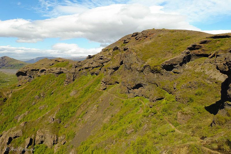
With the unknowns regarding Landmannalaugar transportation and and conditions up in the mountains ahead, I decided the next morning I would head back to Þórsmörk, and give the trail another go at another time, when I would not need to rush it through bad weather, while risking missing my flight back home. Hardly disappointed, I enjoyed finally some tailwind while hiking back to Þórsmörk, now following the blue Landmannalaugar signposts through slightly more green pastures. Dark clouds rolled around me, hiking essentially in the eye of the small storm around in the mountains and the coastal sea, while I made it back to Þórsmörk well on time for the bus transport back to Reykjavik.
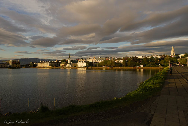
Back in the town, and in the Campsite, I got a confirmation that indeed the Landmannalaugar hut had been opened that day, and buses were running according to the normal summer schedules. For a brief moment I considered jumping into one next morning and making a day trip to the trail end, but quickly decided I would head to another direction. Weather forecast around the Landmannalaugar trail (and in the south coast in general) promised rain and poor visibility, so I decided to leave that behind me and chase the sun up north.
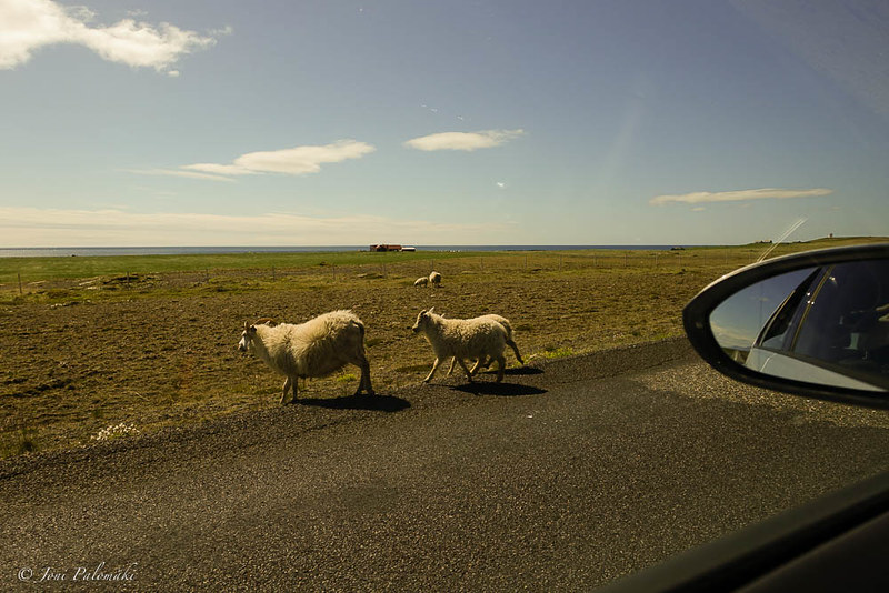
Come next morning, I booked a car at the reception, and in half an hour I was picked up to sign it off the at the rental office. With my airport transfer leaving at around 22:00, I decided I would have enough time to explore the Western Region, driving all the way to the small town of Hellissandur, and around the peninsula, following the coastal roads.
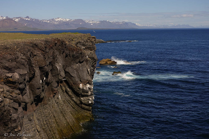
It turned out to be a great day filled with sunshine and warmth, with more spectacular views of Iceland and the North Atlantic, visiting waterfalls and caves, crossing glaciated mountains and watching seals. I hadn’t met any Finns during the trip, but finally did, picking up two girls hitchhiking near Hellissandur. We shared a short ride together as I dropped them off at the the Snaefellsjoekull National Park.
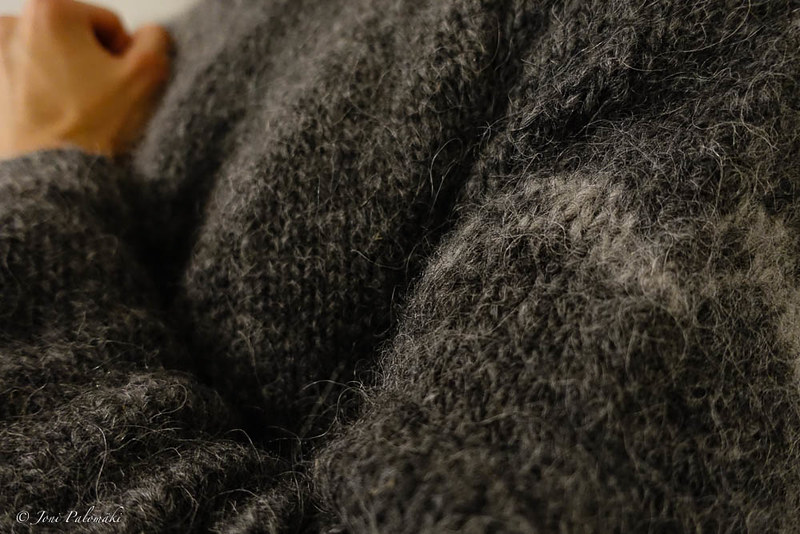
Back in the Campsite, I dropped the car keys in the reception, and met Agga who had made me a very fine custom fitted (and designed) Lopapeysa wool sweater. Before heading to the airport, oblivious to the fact my hard shell would be left behind, on the backseat of the rental car, I had a delicious lobster soup at the restaurant next door, the Lauga-ás. Then it was just the night flight back to Helsinki, followed by a busy day at work.
The question is not whether I will go back, but simply when it will be, though I already got my jacket back on the mail. Obviously Iceland is far from done, and while I am not really bummed about the change of plans and not being able to tackle the whole of Landmannalaugar trail as originally planned, I might be back to do the rest of it. Or, I might as well try to cover again some new areas in this wonderland of fire and ice. I will likely start planning something that would involve a bike and/or a packraft, but for that, if just for the logistics of it, I would need some more time on the ground. However, with relatively cheap direct flights from Helsinki, and the nowadays comprehensive bus network around the island and in and out the trail ends, it certainly is a good destination also for shorter trips, compared to for example northern Sweden and Norway where I’ve been going to in the past, having to spend almost two days just for the travel.
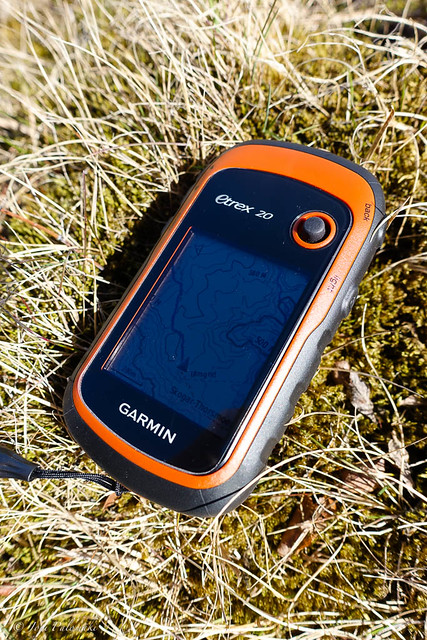
In addition to a map and a compass you should naturally bring with you, I can highly recommend this free MapSource map, that covers most of the known trails (obviously including also the Landmannalaugar) and mountain roads, and is hence a good resource if you carry a compatible GPS device. I have a basic Garmin eTrex 20 that runs on two AA-sized batteries (Alkaline, Lithium or NiMH), small and inexpensive with all the essentials (except USB charging), which I brought along as a backup.
While I enjoy traveling alone, it is always great to meet people all around the world on the trail and share some moments together. If you happen to run across this blog, feel free to comment below or drop me an email, I might even have some photos to share.